City map
Every landmark, food stop and viewpoint, plus four self-guided walks.
How Corfu Town sits on the map
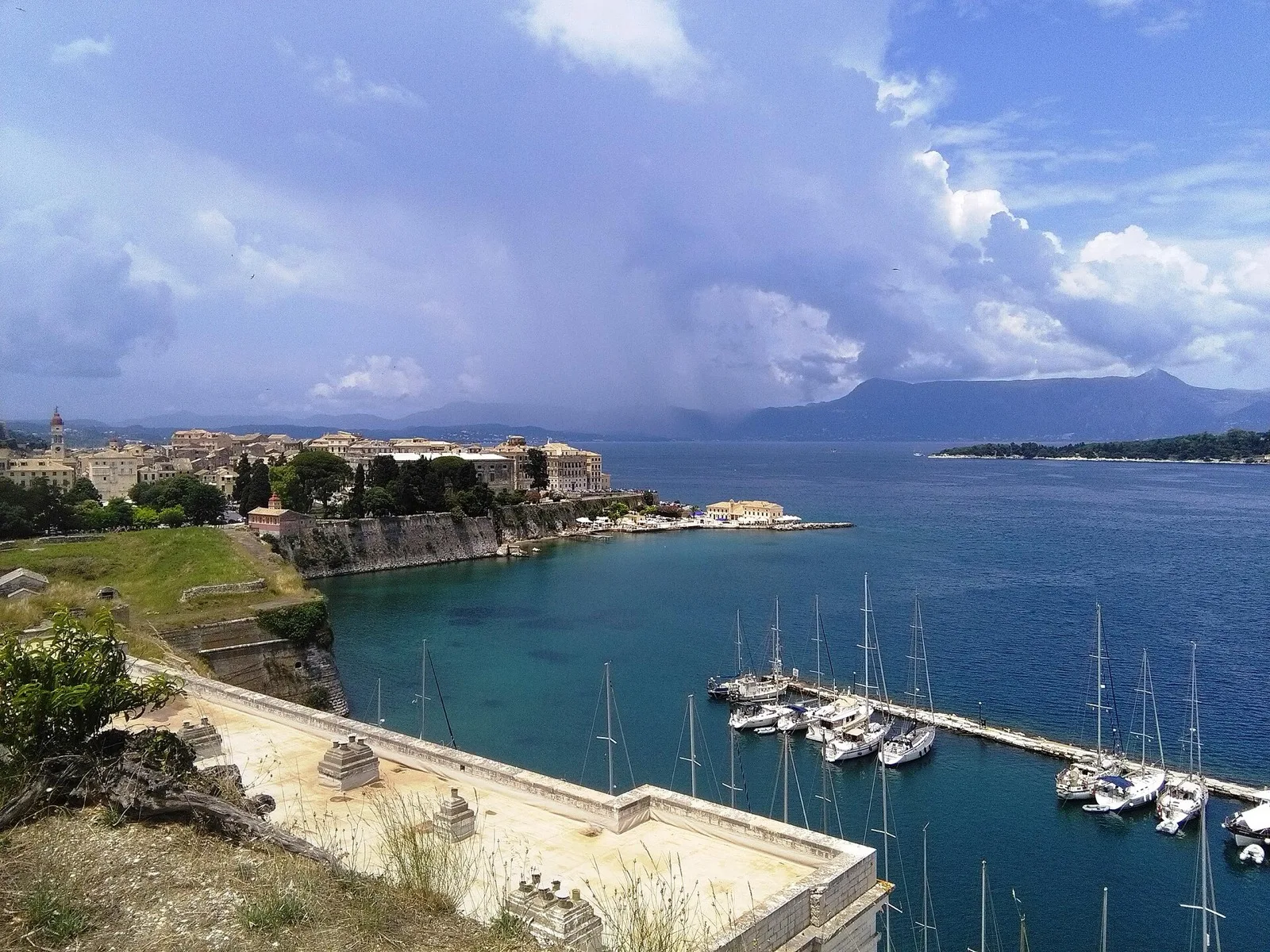
The UNESCO Old Town fills the peninsula between the Old Fortress (east, over the Contrafossa moat) and the New Fortress (northwest above the old port). Spianada and the Liston arcades form the flat meeting ground in the middle — cricket pitch, Easter Botides pots, and café shade. South along the bay is Garitsa; further south toward the airport approach is Kanoni with Mouse Island views. CFU airport sits about 3 km south — Line 15 blue bus or a short taxi (€15 day / ~€20 night, cfu-airport.gr, checked Aug 2026).
Northwest beaches such as Paleokastritsa are a green-bus ride (A9, €2.50, KTEL Kerkyras) — pin them here for planning, then open the full Paleokastritsa guide for coves and the monastery. Use the interactive map below when you have signal; use the directory underneath when you do not.
Filter what you see
Tick a layer to show or hide it. Tap any pin for hours, prices and a
link to the full guide. Points come from data/map.json.
Map data © OpenStreetMap contributors. Tiles © OpenStreetMap.
What is pinned on this map
Readable without JavaScript — useful offline or if the tile layer is slow.
Landmarks
- Achilleion Palace — Empress Elisabeth’s hilltop villa; gardens open (palace interior may be closed for restoration — check achillion-corfu.gr).
- Old Fortress — Venetian sea fortress via the iron bridge; €10 typical (odysseus.culture.gr, checked Aug 2026).
- Spianada & Liston — largest square in the Balkans; Liston arcades for shade and coffee.
- Pontikonisi (Mouse Island) — boats from Kanoni; fare check locally.
- Paleokastritsa Monastery — clifftop monastery above the northwest coves.
- New Fortress — hill fort above the old port with rooftop views.
Areas & viewpoints
- Old Town — UNESCO core, lanes, restaurants.
- Kanoni — Pontikonisi views and airport approach.
- Garitsa — quieter south seafront stays.
- Liston & Spianada — café culture and Easter events.
Transport hub
- Ioannis Kapodistrias Airport (CFU) — 3 km south; Line 15 or taxi.
Self-guided routes
Each route is one-way, ordered to avoid backtracking, and opens in Google or Apple Maps with every stop pre-loaded.
Using this map without signal
Download offline maps before you land: in Google Maps, search “Corfu”, tap the place name, then “Download offline map” and select the island tile (roughly 200–400 MB). Organic Maps (free, OpenStreetMap-based) lets you download the whole Ionian region without an account — useful when roaming data fails in Paleokastritsa coves.
Greek carriers Cosmote, Vodafone and Nova all sell prepaid SIMs at CFU airport and shops on Alexandras Avenue — expect €10–20 for 10–20 GB (check locally). EU roaming covers most European plans at no extra cost; UK and non-EU visitors should buy a local SIM or an eSIM before arrival. Wi-Fi in Liston cafés is common but unreliable for turn-by-turn navigation.