Neighbourhoods of Corfu
What each district is actually for, and how they join up on foot.
How the city is laid out
Corfu Town clusters around Spianada — the UNESCO Old Town sits east of the square, Garitsa wraps the south bay, and Kanoni lies 4 km south for Pontikonisi views (blue bus Zone A €1.30, Astiko KTEL, checked Aug 2026).
The island capital is compact: most visitors never need a car inside the municipal boundary. The port, San Rocco bus hub and both fortresses all sit within a 15-minute walk of Liston. Green KTEL coaches leave from the station near the port for Paleokastritsa (A9, €2.50) and the north coast — see Getting Around for line numbers.
The centre
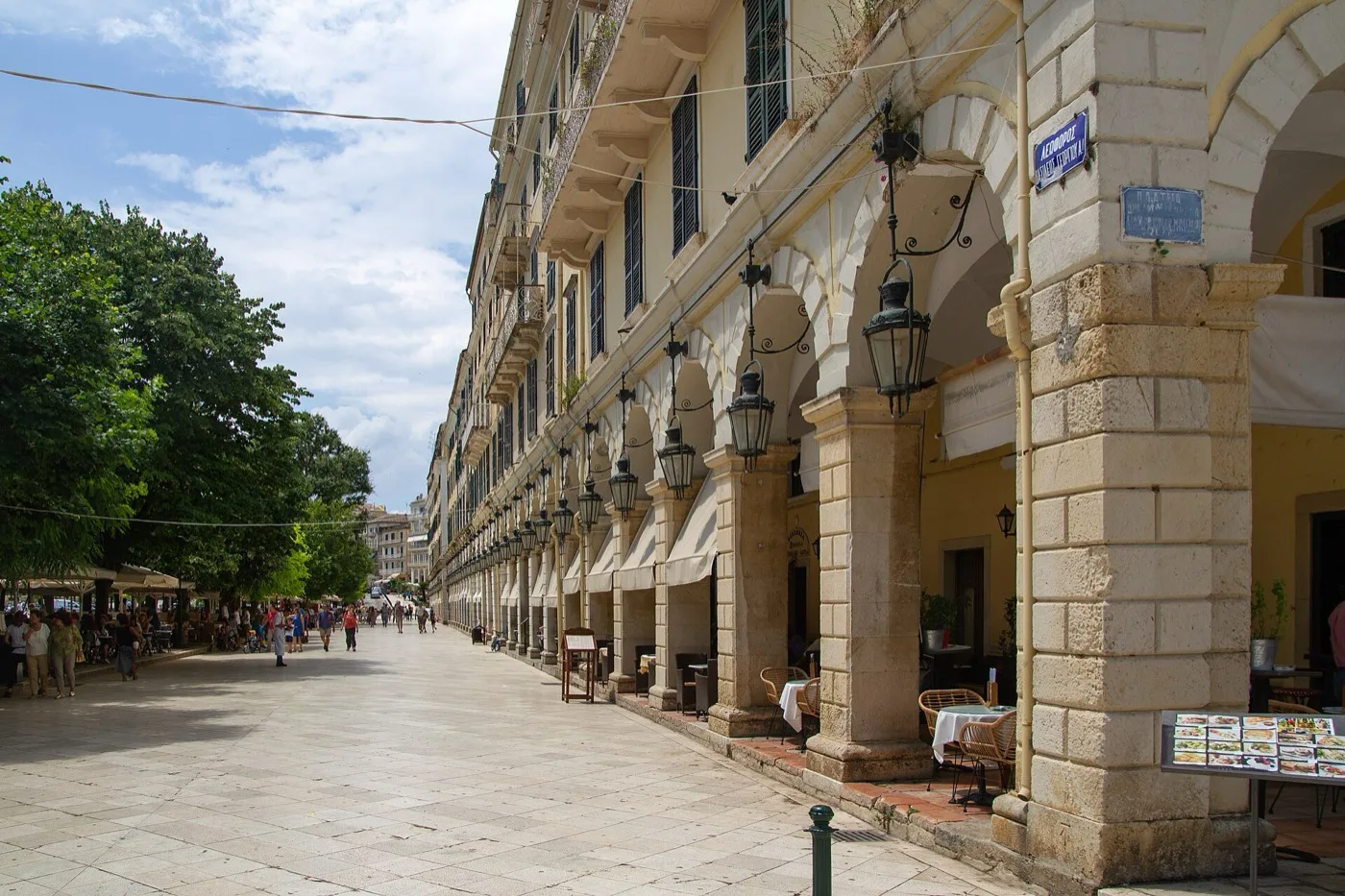
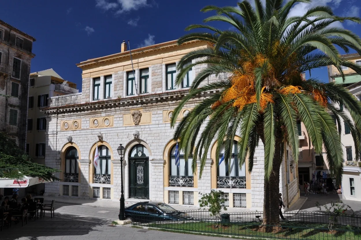
Spianada is the largest square in the Balkans — four lawns divided by French and British-era paths, with cricket played on the northern strip. Liston runs along the west edge: arcades modelled on Rue de Rivoli, now lined with cafés charging €4–6 for a freddo espresso (check menus locally). The Palace of St Michael and St George anchors the north side; the Museum of Asian Art occupies part of the building (separate ticket, odysseus.culture.gr).
From Spianada it is a 3-minute walk to the Old Fortress bridge and 5 minutes to Saint Spyridon church. San Rocco square, where blue buses converge, lies 8 minutes west on foot.
The old quarter
The UNESCO-listed Old Town (listed 2007) is a grid of Venetian lanes called kantounia — narrow enough that laundry hangs across the street. Campiello, in the highest quarter, is the steepest; ground-floor tavernas here often serve pastitsada for €14–18 (check locally). Entry to the Old Fortress is €10 full / €5 reduced, summer hours 08:00–20:00 (Ministry of Culture, checked Aug 2026).
Most hotels inside the walls are boutique rooms without parking — confirm luggage access before booking. Easter Holy Saturday brings the Botides pot-throwing ritual onto these same balconies at 11:00 (visitgreece.gr).
Where the city goes out
Evening life splits three ways. Liston stays café-bar until midnight — good for people-watching, not loud clubs. Old Port (Mouragia) tavernas serve seafood with harbour views; last kitchen orders often around 23:00. San Rocco and Guilford Street carry the late bars and live music that run until 02:00 in peak season — see Nightlife for last-bus times.
Blue buses stop around midnight on most lines; after that, taxis from San Rocco to Old Town run ~€8–10 on the meter — confirm before boarding (night surcharge 00:00–05:00 applies island-wide).
Where locals actually live
Garitsa south of the centre is where Corfiots jog the seafront path and swim at Faliraki — quieter than the Old Town, with mid-range hotels from €70–100/night (seasonal, check locally). Kanoni is residential above the lagoon; cafés face Pontikonisi and the airport approach path. Gastouri, uphill from Benitses, surrounds the Achilleion — useful if you plan a morning at the palace (€7 gardens, achillion-corfu.gr).
Supermarkets and bakeries sit on every main road; the municipal market near the New Fortress sells kumquat products and local olive oil on weekday mornings.
Neighbourhood questions
Which neighbourhood should I stay in Corfu?
Old Town suits first-timers who want sights on foot — expect cobbles and no parking. Garitsa trades lane charm for a seafront path and quieter nights. Kanoni works for photographers and airport arrivals; Paleokastritsa needs a car or green bus A9 (€2.50). Match area to transport, not just the view.
Which areas of Corfu should I avoid at night?
There is no district visitors are formally warned against. Use normal city caution: stick to lit streets after midnight, watch bags in crowded Liston, and avoid unlicensed taxi touts at the port. San Rocco bars get loud but remain busy with locals — walk back via main roads, not unlit kantounia.
Can you walk between neighbourhoods in Corfu?
Old Town, Spianada, Garitsa and the New Fortress link in 15–25 minutes on foot. Kanoni is 4 km south — walkable along the coast in 50 minutes or take a blue bus (Zone A €1.30). Achilleion and Paleokastritsa need buses or a car; do not assume every pin on the map is walking distance.